61
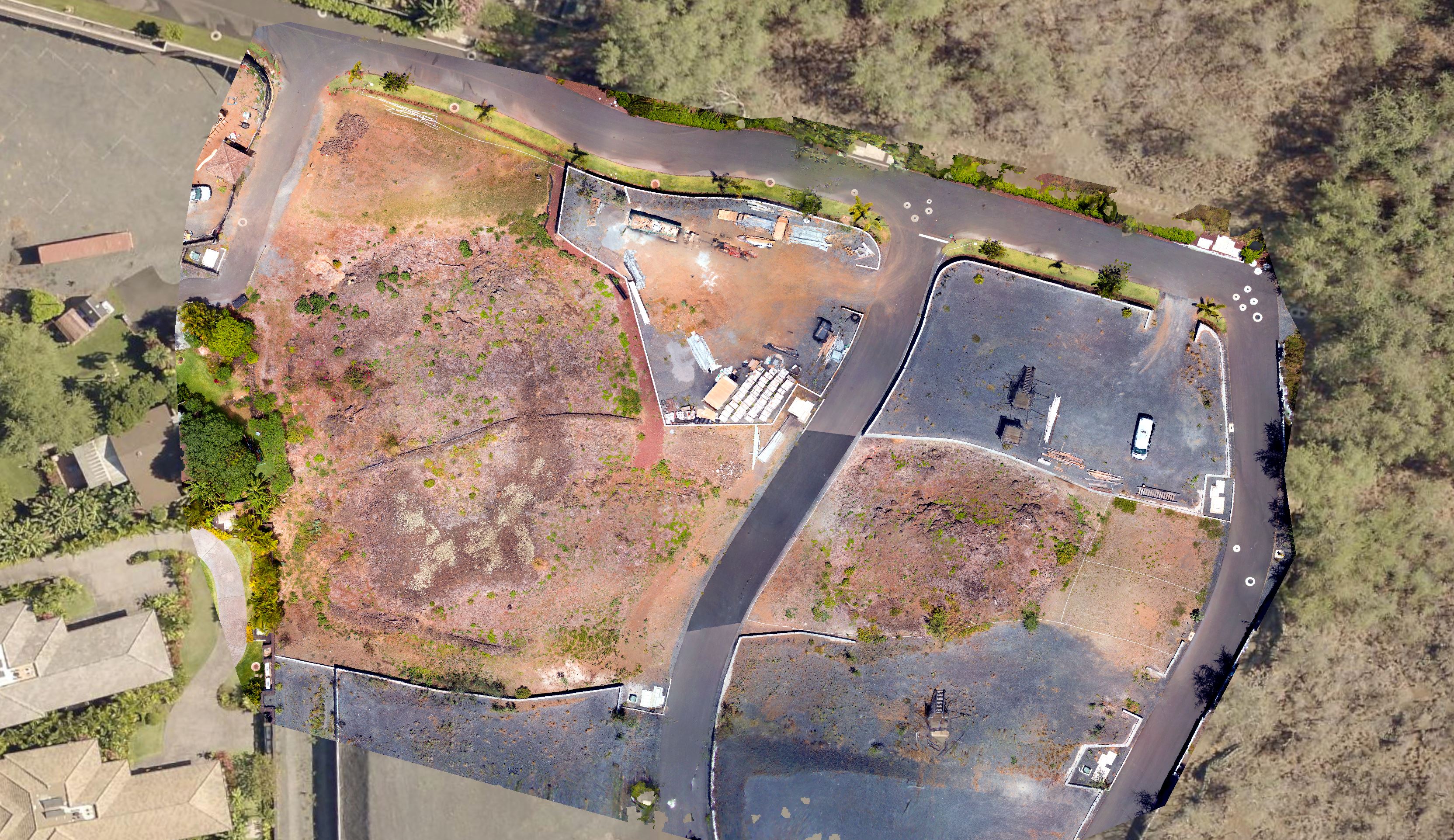
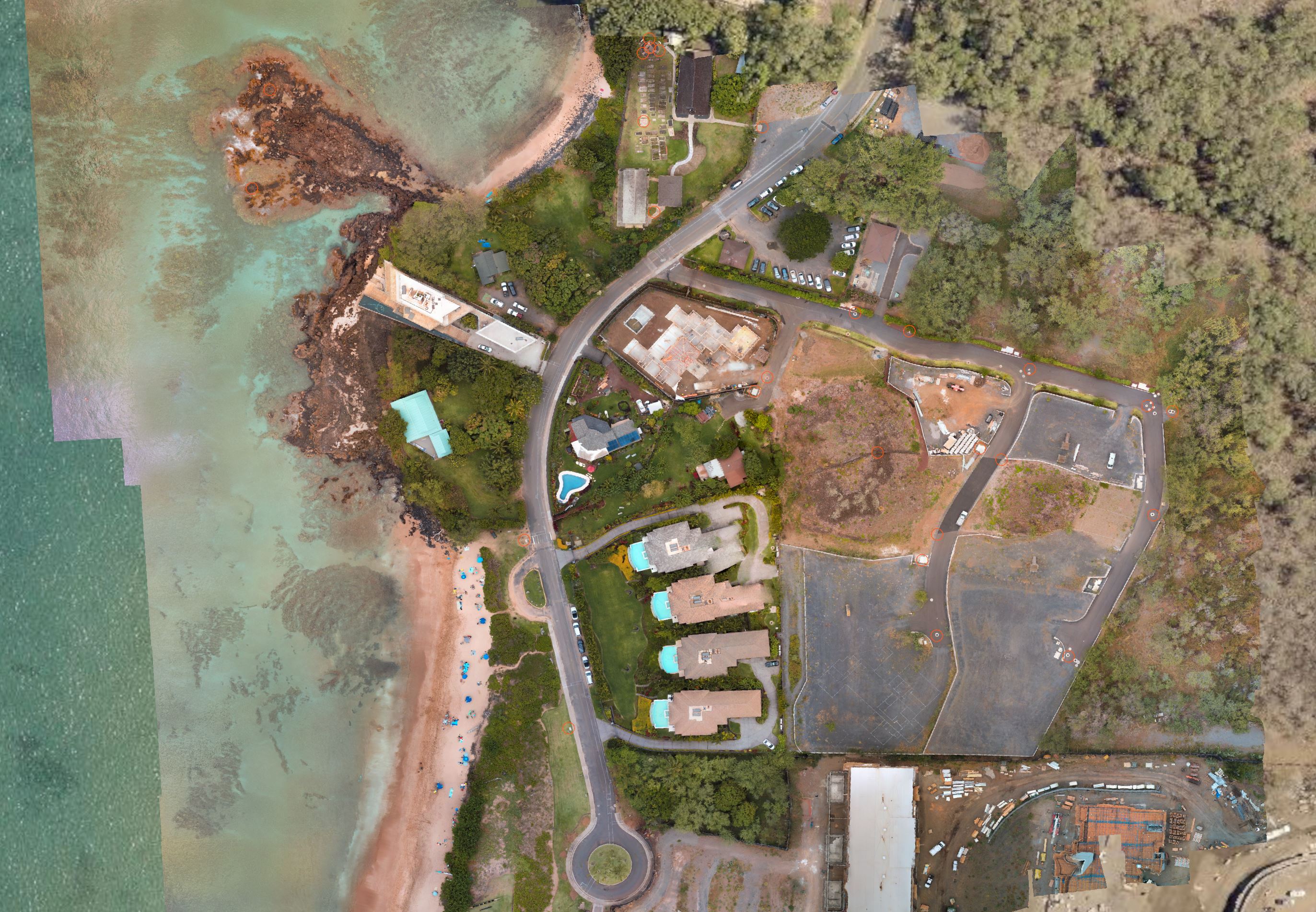
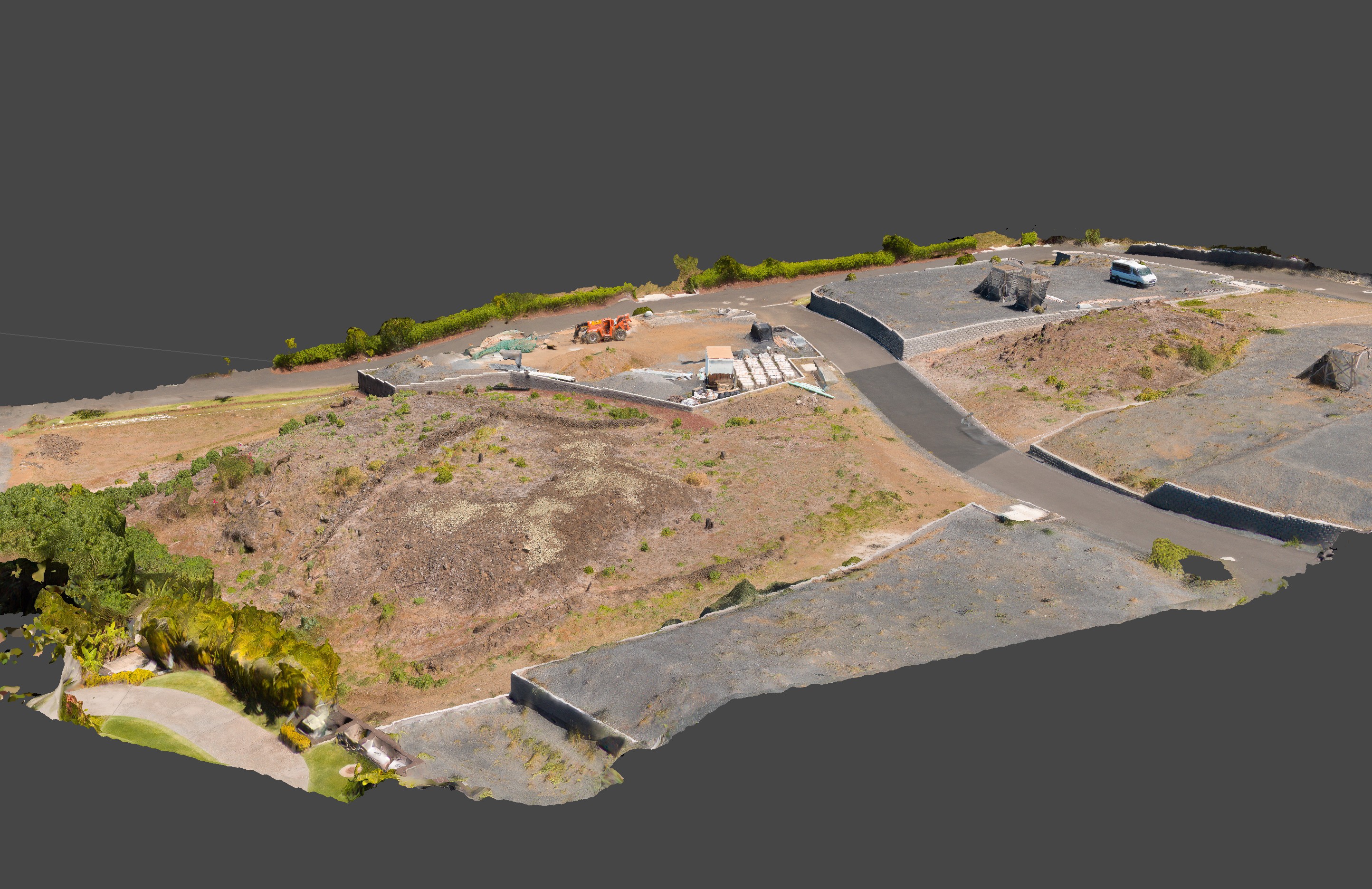
General / Re: My drone mapping project using GCPs from Pictometry and LiDAR
« on: April 17, 2022, 10:54:06 AM »QuoteSince I first started looking into photogrammetry I've been wondering why ground control points are exclusively considered to be square targets that you put on the ground.
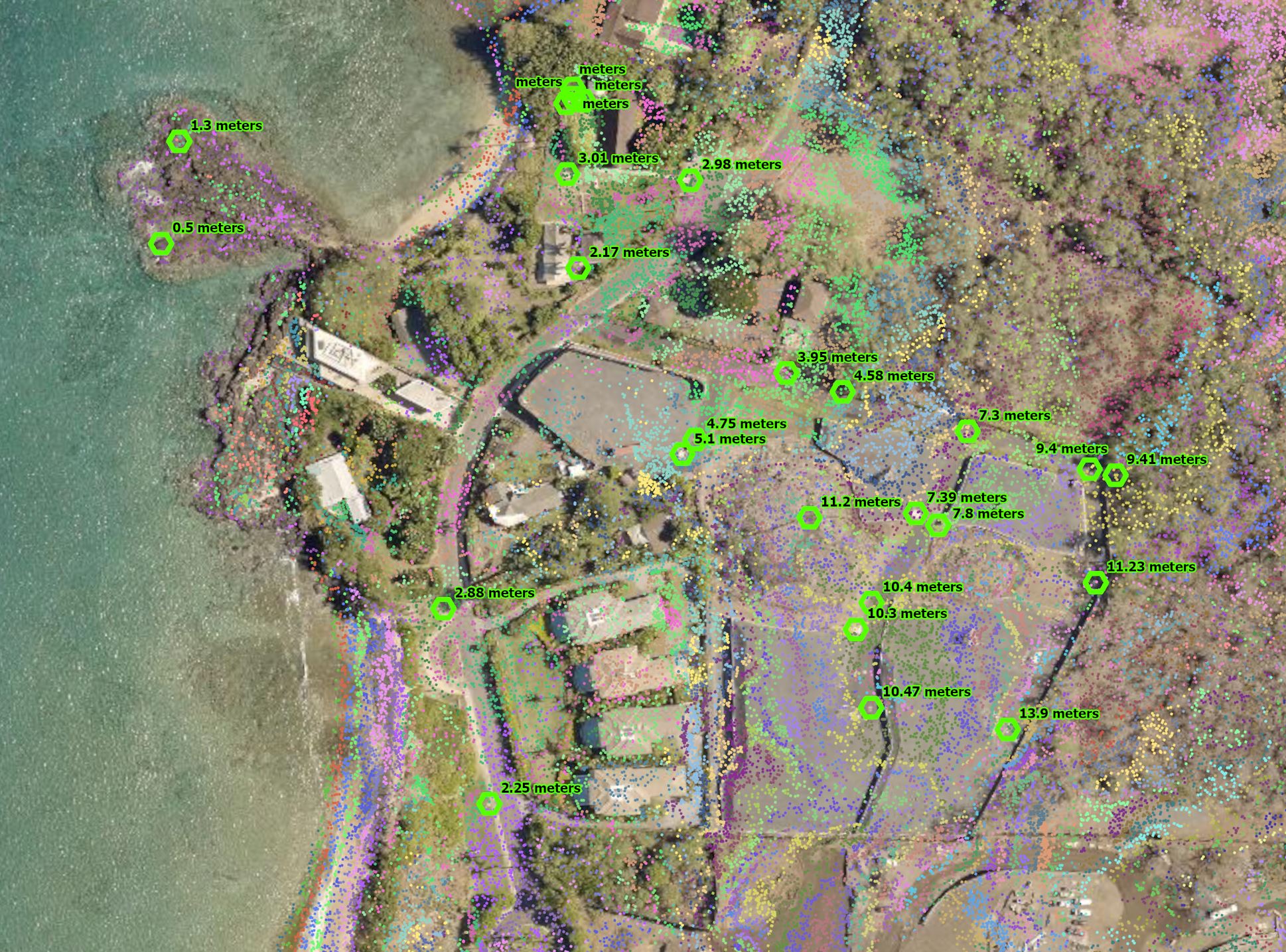
This is incorrect. Ground targets are generally used because in many / most areas being developed, there is not established infrastructure in place that can be used reliably to establish centimeter level precision when developing a 3d model. In cases like yours where there is plenty of substantial, identifiable objects that can be measured and assigned coordinates, they are fine and often preferable because they are permanent.QuoteI learned a lot in the past few weeks, but I only have 6 days left on my trial, so in a week I'll have to switch to another program that I can afford. Unfortunately there is no product from Agisoft that lets someone like me do this kind of non-commercial mappingI hope they consider some kind of home use or hobby license. The standard license is fine for objects but without geographic capability it's not useful for documenting landscapes
This service was recently suggested by Agisoft where you can run projects and pay for only what you use. Maybe it might be an option for you.
https://www.geocloud.work/QuoteIs there a way to export the marker locations on the photos that other programs like Reality Capture can interpret?
Yes. Similar to the importing of .csv coordinates, you can also export marker and/or camera positions.
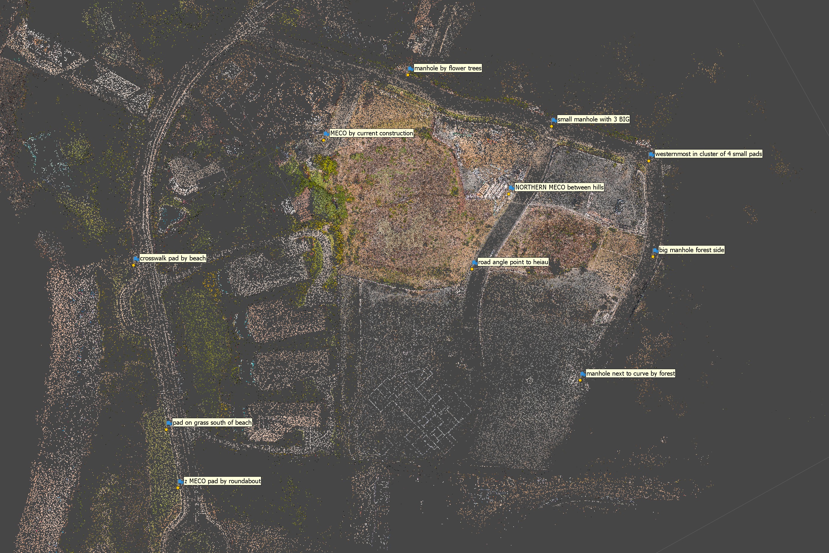
I have yet to see discussion on any forum, Facebook group, or a tutorial about using ground control points that aren't GPSed checkerboard pads. Discussion of using manholes and things like that may exist somewhere but I haven't seen it!
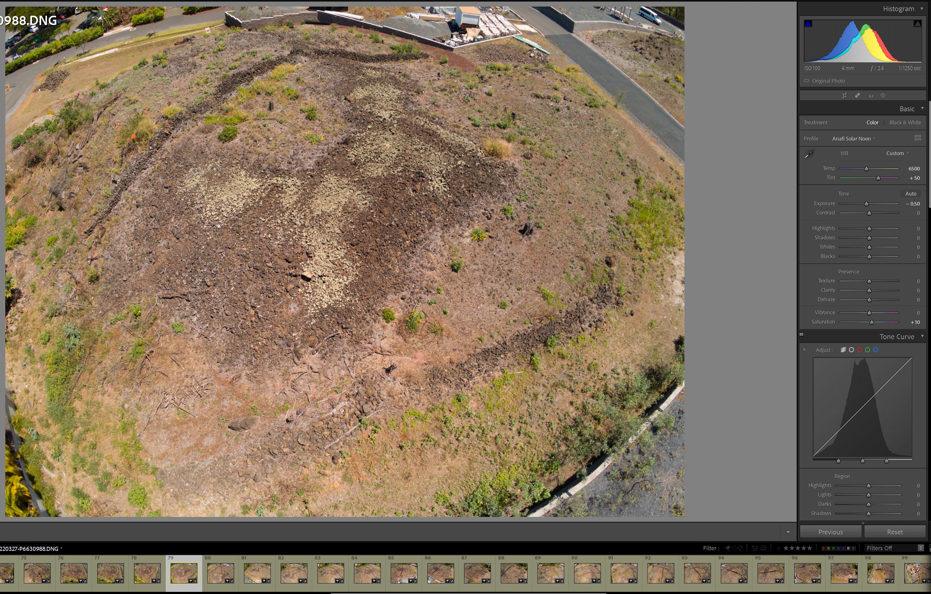
The Geocloud thing may be an option, but just uploading photos would take days because this particular project is over 8GB of JPEGs. I'm guessing the costs would get pretty steep for by the hour work... I think I've spent 40 hours or more on this
I'm going to try importing a "bundler" file to Reality Capture. I installed it today and started working on a new project... I don't have high hopes. I can't get it to import my ground control points properly, the coordinates get totally changed. And the UI is atrocious